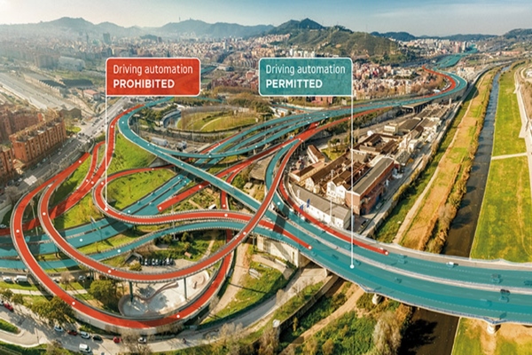
RoadCheck from TomTom enables carmakers to use its high-definition map data to define the operational design domain of their vehicles’ automated driving functions.
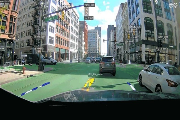
Toyota Research Institute-Advanced Development and road intelligence company Carmera have produced comprehensive, accurate mapping data for roadway features in central Detroit and Ann Arbor.
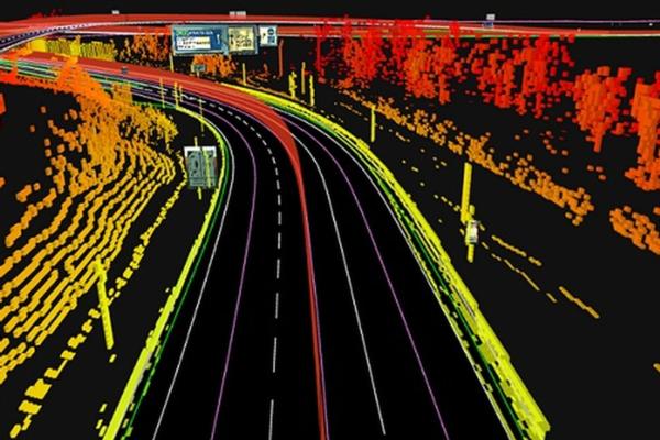
TomTom’s high definition map will work in combination with Denso’s in-vehicle sensors such as cameras and radars to create an end-to-end autonomous driving system
Lv15 and Rubicon Global are joining forces to help US cities find their "truly desperate roads" and enable them to allocate their resources more efficiently
FIWARE CEO Ulrich Ahle speaks to Graeme Neill about how the Smart Cities for Germany programme is helping the country’s poor track record on digitising services and how the battle for public opinion on open-source has been won.