
































BUILD YOUR OWN
RESOURCE LIBRARY



Smart Infrastructure Mapping Underground Utilities
Beneath our streets lie complex networks of cables and pipes – but often, the owners of these systems have little idea of their precise nature or location. Emerging digital technologies could enable us to build real-time, 3D maps of our buried utilities – reducing inefficiencies, costs and risks.


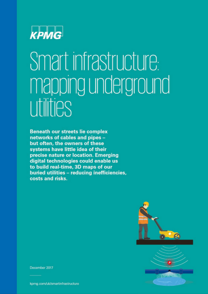
Smart Infrastructure Mapping Underground Utilities White Paper
Like an old house, our urban infrastructure is shot through with hidden, unmapped conduits, pipework and cabling. But, given the right policies and collaborative working, today’s technologies could enable us to create a real-time, 3D picture of our buried utilities – producing benefits for providers, customers and the general public alike.
Since Victorian times, utility firms and infrastructure providers have been burying pipes and cables beneath our roads – creating intricate, complex networks to distribute services and collect waste water. And over the centuries, almost all these organisations have folded or been sold, merged, nationalised, privatised or restructured, leaving asset records that are often incomplete and outdated.
Since Victorian times, utility firms and infrastructure providers have been burying pipes and cables beneath our roads – creating intricate, complex networks to distribute services and collect waste water. And over the centuries, almost all these organisations have folded or been sold, merged, nationalised, privatised or restructured, leaving asset records that are often incomplete and outdated.
Consequently, few utility and infrastructure organisations have an accurate, detailed picture of their distribution networks: to locate a particular conduit or junction, they must pull together whatever records they can find, carry out preliminary explorations using magnetic or electronic sensors, then cross their fingers and start digging. And with no universal system for sharing data between all the different utilities firms, they’re just as likely to stumble across another provider’s network as to locate their own.
This paper, provided by KPMG, outlines how utility companies, technology providers and local authorities could collaborate to deliver a more efficient way of maintaining the a city infrastructure.
If you are involved in the following areas, then this report would provide a useful insight into how smart utilities infrastructure can start to work for cities across the world.
• Local & Regional Authorities
• Government Agencies
• Sensor Manufacturers
• Energy Suppliers
• Town Planners
• Emergency Services
• Platform Providers
• Transport Providers
• Telco Operators, Providers and Manufacturers
Download this White Paper from KPMG in the SmartCitiesWorld resource area. If you are not already a member, it’s free and takes just 30 second to register.
Why not try these links to see what our SmartCitiesWorld AI can tell you.
(Please note this is an experimental service)
How can real-time 3D mapping improve underground utility maintenance efficiency?What digital technologies enable accurate detection of buried cables and pipes?How can data sharing between utility companies reduce infrastructure risks?What role do local authorities play in implementing smart infrastructure mapping?How do sensor manufacturers contribute to underground utility network visualization?Latest City Profile
Latest Summit Speakers
(22-26 June)
SmartCitiesWorld Newsletters (Daily/Weekly)
You may also like these related articles...
BECOME A MEMBER
© 2026 SmartCitiesWorld
Smart Cities World Ltd, 37 Lombard Street, London, EC3V 9BQ